
Summer 2011
Miles City to West Yellowstone, MT
14 June 2011
Route Map
Click on pinpoints for local information
Destination Map
Photographs and Commentary
Click on picture to enlarge
I received a note today from our good friend Marty who has followed our travels since we started this Web site. He was concerned that our daily reports on this trip have been a little too negative. I appreciate Marty's concern, but I am reporting what we are going through and would like to give a complete picture of what's happening. However, in deference to our long term friend Marty, I will try to be more positive.
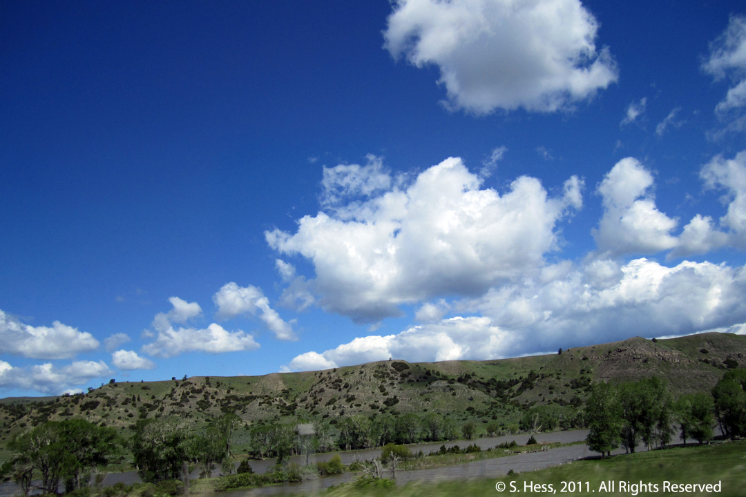
Despite thunderstorms and some pretty heavy rain last night, we slept quite soundly. This morning Miles City was warm and mostly sunny. The camp site was a waterlogged and we had to go into four wheel drive to get out. Once underway, the only down side was the wind. The headwinds were positively awful. We continued on I-94 until it ended in I-90 in Billings. The terrain became more rugged as we went west on I-90. The Yellowstone River continued to be our companion on I-90 until the river turned south, around Livingston, heading toward Yellowstone National Park. All along this part of today's drive we could see flooded fields and swollen streams. You really have to feel for the farmers whose crops are being damaged and the owners of riverside properties who have to keep one eye on the rivers so they can leave before they get cut off from civilization.
We continued on west on I-90 until a few mile past Bozeman where we picked up US-191 heading south to West Yellowstone. US-191 parallels the Gallatin River (named by Lewis & Clark for Jefferson's Secretary of Treasury) south. The river was raging... white water almost everywhere. I don't think I would like to be in a raft on the Gallatin today. The route continued its climb until it peaked around 7,200 feet before it dropped to around 6, 800 feet in West Yellowstone.
This RV Park is among the nicest we have stayed in on this trip. It is a resort park in a resort area. We did a quick drive through the town after we got settled and will walk through and look at some of the attractions on Friday. We signed up for an organized tour of the upper loop of Yellowstone National Park and will do a tour of the lower loop on Thursday.
All in all, a positively good day.
All pictures by Susie
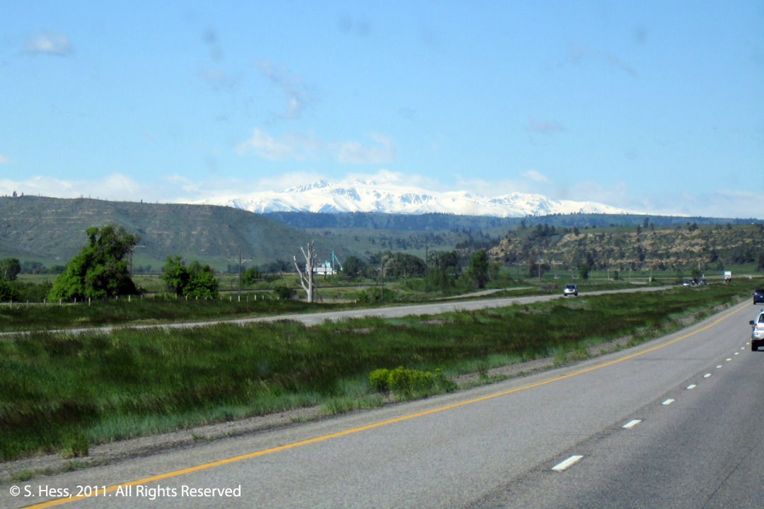
Our first glimpse of the Rockies from just west of Billings. When we went through this area in late may 2010, there was not as much snow showing on the mountains.
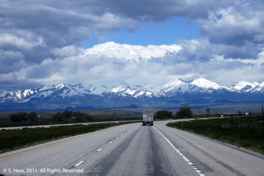
At this point we were still on relatively flat terrain. A few miles later we started to climb.
High water on the Yellowstone River
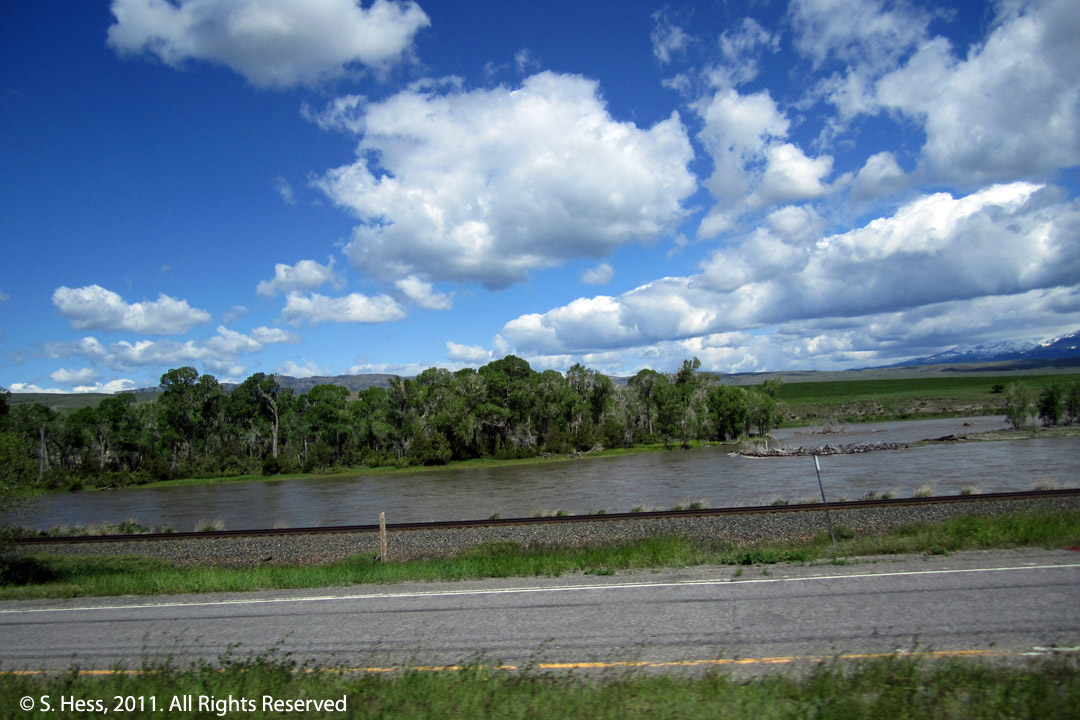
The rails are just a few feet above the current level of the river. We saw inspection teams making sure that the road bed was not being undermined.
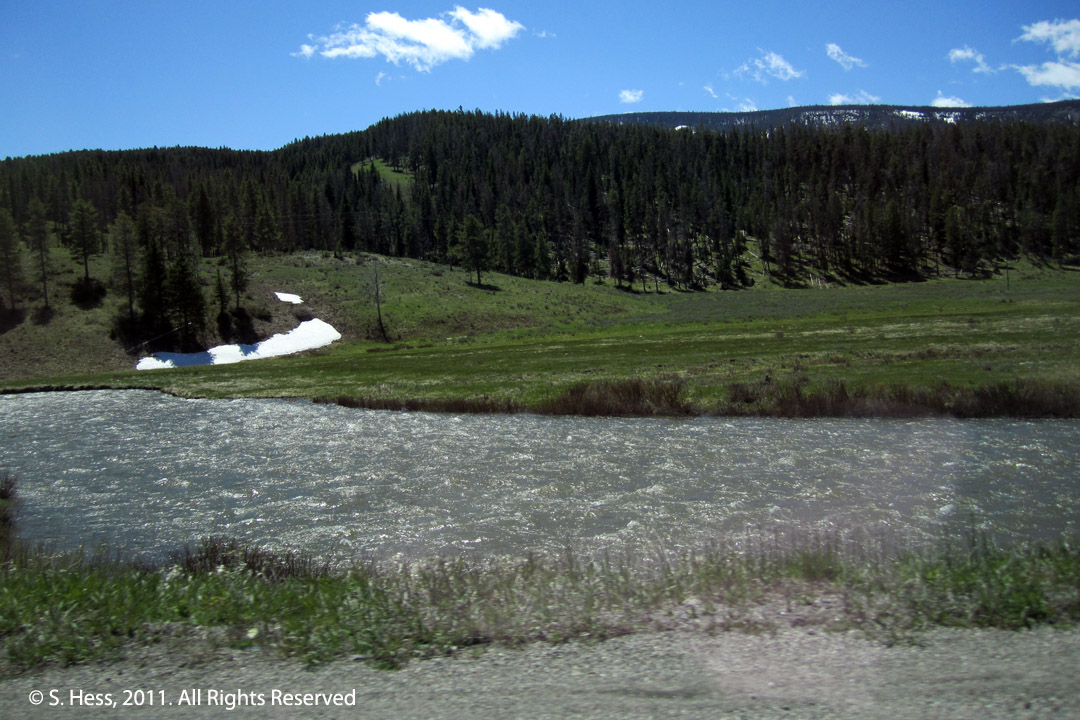
The Gallatin River is just shy of overflowing its banks. We saw road crews working on a section of the road where the river overflowed recently. Note the snow bank on the far side of the river.